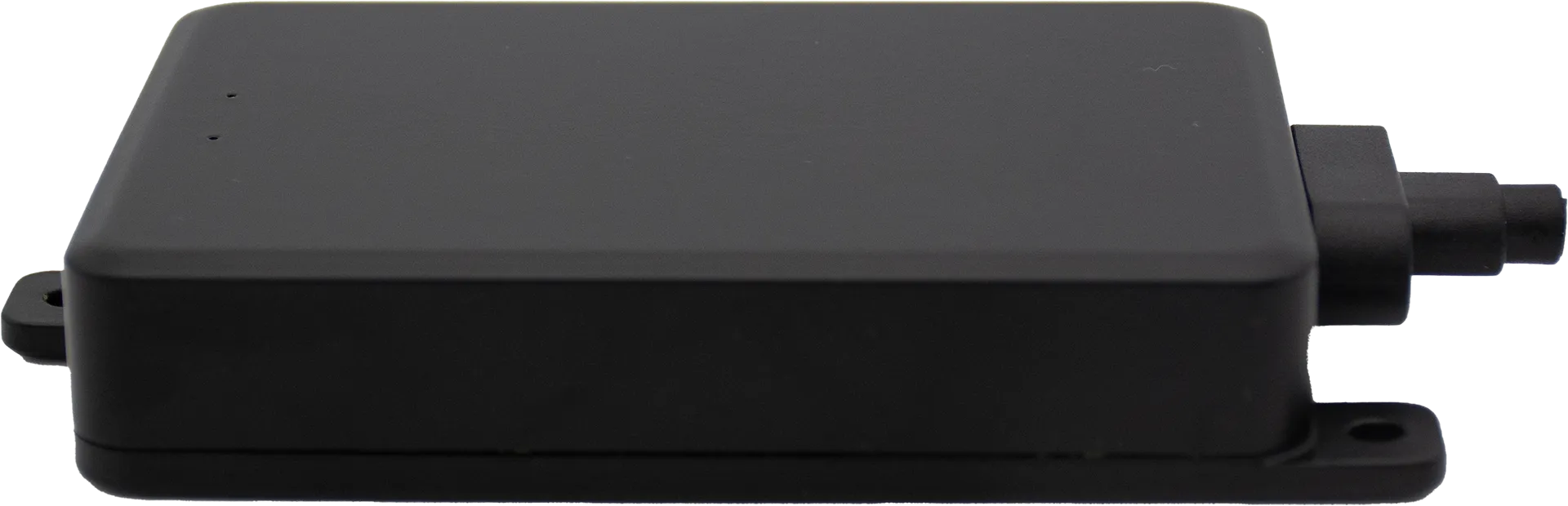
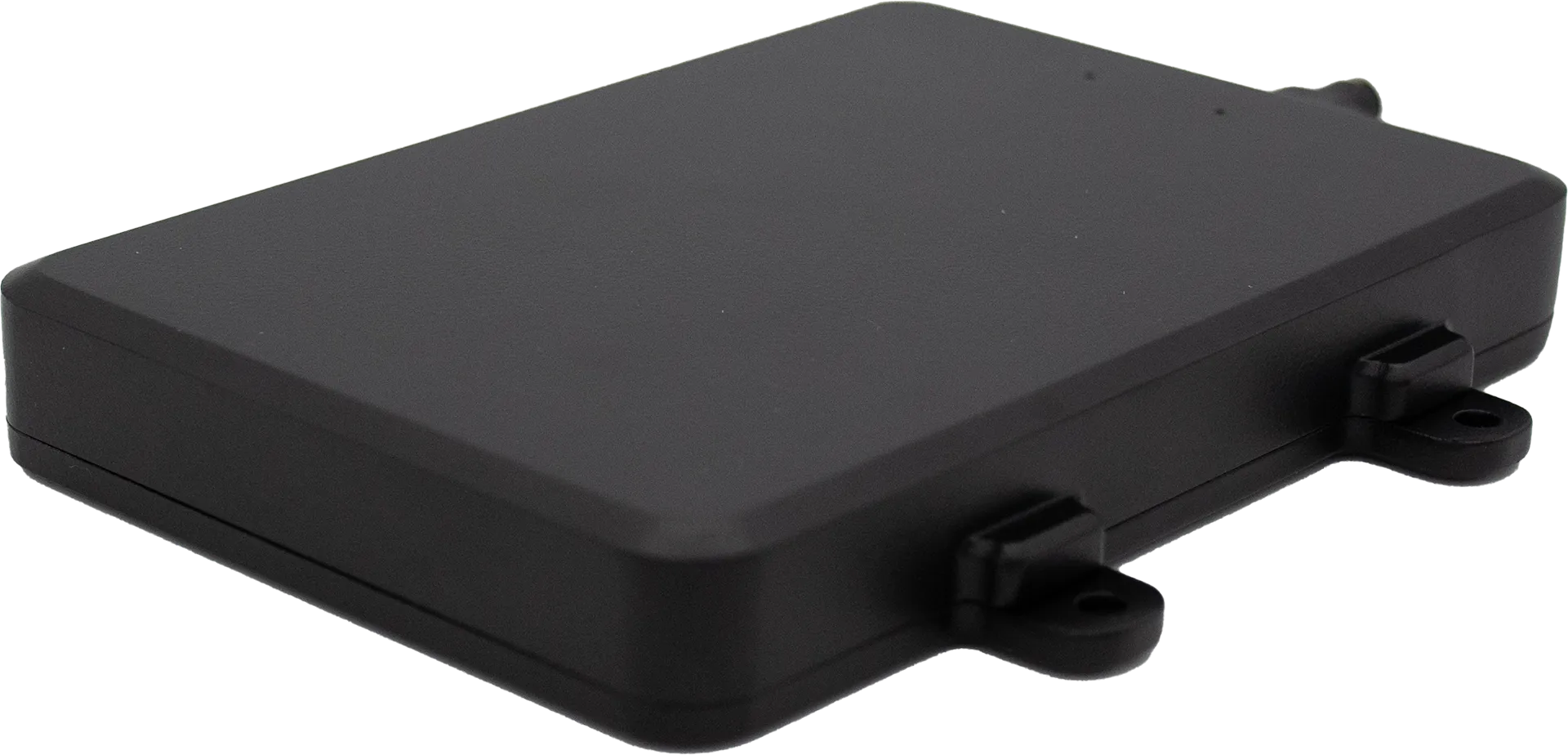
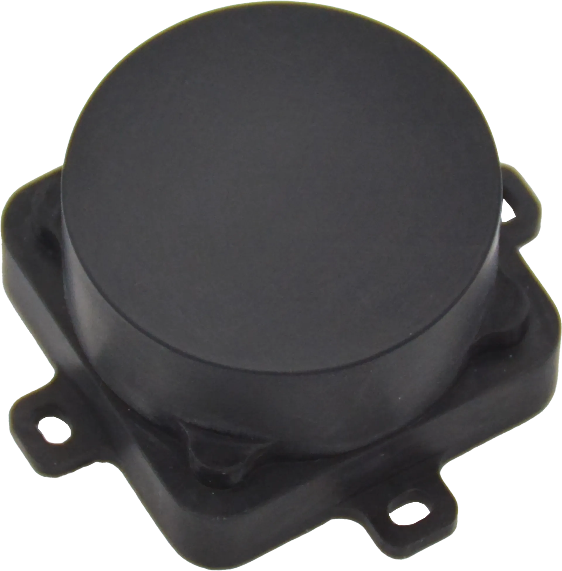
Two radar altimeter series — 24 GHz and 60 GHz — covering every UAV altitude sensing need from close-range millimeter precision to long-range 3,300 ft detection.
AxEnd offers two complementary FMCW radar altimeter series to meet the full spectrum of UAV altitude-sensing requirements. The 24 GHz AXDXM24A1 Series delivers long-range detection up to 3,300 ft with wide-beam coverage, ideal for high-altitude and terrain-following missions. The 60 GHz AXDXM60A1 Series achieves millimeter-level (±0.4 in) accuracy in an ultra-compact, ultra-light, ultra-low-power package — purpose-built for close-range precision altimetry.
Both series feature native MAVLink / DroneCAN support, AI-empowered target clustering, rugged IP67 all-weather enclosures, and effortless integration with popular flight controllers.
Both altimeter series share a common technology platform — FMCW radar core with AI-powered processing, ruggedized for all-weather operation, and engineered for seamless integration with industry-standard flight controllers.
Both series use Frequency Modulated Continuous Wave (FMCW) technology for direct terrain-referenced altitude measurement — immune to GPS drift, barometer lag, and sonic interference. The result: real-time, drift-free altitude data you can trust.
AI algorithms intelligently filter noise and suppress interference from multipath reflections, vegetation, and ground clutter. The altimeter adapts to changing environments in real time — delivering clean, reliable altitude data in complex terrain without manual calibration.
Native MAVLink / DroneCAN support with TTL UART and CAN interfaces. Both series integrate directly with PX4 and APM flight controllers, enabling plug-and-play deployment with minimal configuration.
Both altimeter series are fully sealed to IP67 and operate reliably in rain, fog, dust, smoke, and extreme temperatures — day or night, in any climate. No performance degradation from light conditions, precipitation, or airborne particulates.
Four range-configurable models, wide ±24° beam coverage, and triple-protocol support — the 24 GHz series is purpose-built for long-range UAV missions where range flexibility and broad terrain coverage matter most.
±0.4″ (±10 mm) accuracy, 30 g weight, 0.2 W power — the 60 GHz series redefines what a precision altimeter can be, delivering millimeter-level performance in a package smaller than a business card.
GPS gives you a height above a mathematical model. Barometers guess from air pressure. Our FMCW radar measures how far the drone actually is from the ground — directly, accurately, and in any weather.
Our radar measures height above the actual terrain (AGL). GPS gives ellipsoidal height, barometer infers from pressure — both are indirect approximations.
±0.8 in (20 mm) accuracy. GPS degrades under tree cover and in urban canyons; barometers drift with temperature and pressure. Our radar is consistently precise.
Works in GPS-denied environments — inside warehouses, under bridges, in dense forests. Fully autonomous, no external infrastructure required.
IP67-rated. Unaffected by rain, dust, fog, smoke, or darkness. From −40 °F to +158 °F, the reading stays reliable in any condition.
No calibration needed. Barometers drift with weather fronts; our radar holds the same reading whether it’s sitting on the ground or mid-flight.
10–45 Hz refresh, native MAVLink / DroneCAN / ARLink, direct UART & CAN. As light as 99 g and as low as 1.5 W — an easy upgrade for any UAV.
Complete parameter comparison across the five available models. The 24 GHz series offers four range options with wide-beam coverage; the 60 GHz series delivers unmatched precision in a fraction of the size and power.
| Download Datasheet | Download Datasheet | Download Datasheet | Download Datasheet | Download Datasheet | |
|---|---|---|---|---|---|
| Detection & Accuracy | |||||
| Max detection rangeabove terrain | 164 ft (50 m) | 650 ft (200 m) | 1,700 ft (500 m) | 3,300 ft (1,000 m) | 0.16 ~ 164 ft (0.05~50 m) |
| Range accuracy | ± 0.8 in (20 mm) | ± 0.8 in (20 mm) | ± 2 in (50 mm) | ± 2 in (50 mm) | ± 0.4 in (10 mm) |
| Max detectable velocity | up to 134 MPH (60 m/s) | — | |||
| Field of view | ± 24° (horizontal), ±18° (vertical) | ±8° (horizontal and vertical) | |||
| Radar & Performance | |||||
| Radar type | Frequency Modulated Continuous Wave (FMCW) | ||||
| Frequency band | K Band (24 GHz) | 60 GHz | |||
| Power Requirement | |||||
| Power supply | DC 4.5 ~ 28 V | DC 4.5 ~ 28 V | DC 7 ~ 24 V | DC 7 ~ 24 V | DC 5 ~ 12 V |
| Power consumption | 1.5 W | 1.5 W | 2 W | 2 W | 0.2 W @ 20 Hz / 0.1 W @ 2.5 Hz |
| Network | |||||
| Protocols | MAVLink / DroneCAN / ARLink (Selectable) | MAVLink or DroneCAN (Selectable) | |||
| Communication interface | UART (TTL) / CAN | ||||
| Flight controller | APM (ArduPilot Mega) / PX4 (PX4 Autopilot) | PX4 (PX4 Autopilot) | |||
| Refresh rate | 10 ~ 45 Hz | Up to 20 Hz | |||
| Environmental | |||||
| IP rating | IP67 | ||||
| Working temperature | −40 °F ~ +158 °F (−40 °C ~ +70 °C) | −4 °F ~ +158 °F (−20 °C ~ +70 °C) | |||
| Dimension & Weight | |||||
| Dimensions (L * W * H) | 4.5 * 2.6 * 0.7 in 113.2 * 66 * 16.5 mm |
4.5 * 2.6 * 0.7 in 113.2 * 66 * 16.5 mm |
5.6 * 3.2 * 0.7 in 141.5 * 82 * 18 mm |
5.6 * 3.2 * 0.7 in 141.5 * 82 * 18 mm |
1.9 * 1.9 * 0.8 in 47.2 * 47.2 * 21.5 mm |
| Weight | 0.22 lb (99 g) | 0.22 lb (99 g) | 0.35 lb (160 g) | 0.35 lb (160 g) | 0.07 lb (30 g) |
From the 24 GHz long-range series to the 60 GHz ultra-precision lineup, our altimeters integrate seamlessly into any UAV platform that demands a reliable, real-time altitude reference.
Real-time altitude hold and precision approach for last-mile delivery drones, ensuring safe landing in complex urban environments and variable landing zones.
Constant-AGL terrain following enables uniform spraying coverage and accurate crop surveying across undulating farmland, orchards, and hillsides.
Narrow-beam focus and multipath immunity deliver clean altitude data near towers, cables, and bridges — critical for safe autonomous inspection flights.
All-weather reliability ensures consistent altitude reference during perimeter monitoring and autonomous patrol missions, day or night, in any conditions.
GPS-denied operation keeps search-and-rescue drones operational in smoke, fog, or collapsed structures where satellite signals are unreliable or unavailable.
Millimeter-accuracy height data supports high-precision topographic mapping, glacier monitoring, and environmental research in remote or extreme terrain.
Our team will send you the full datasheet and arrange a live test session with your target platform.
Request Datasheet & Demo →