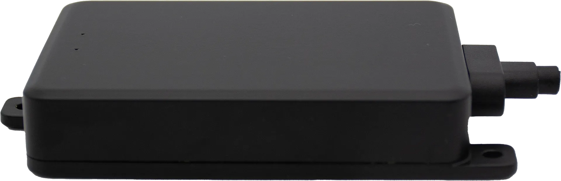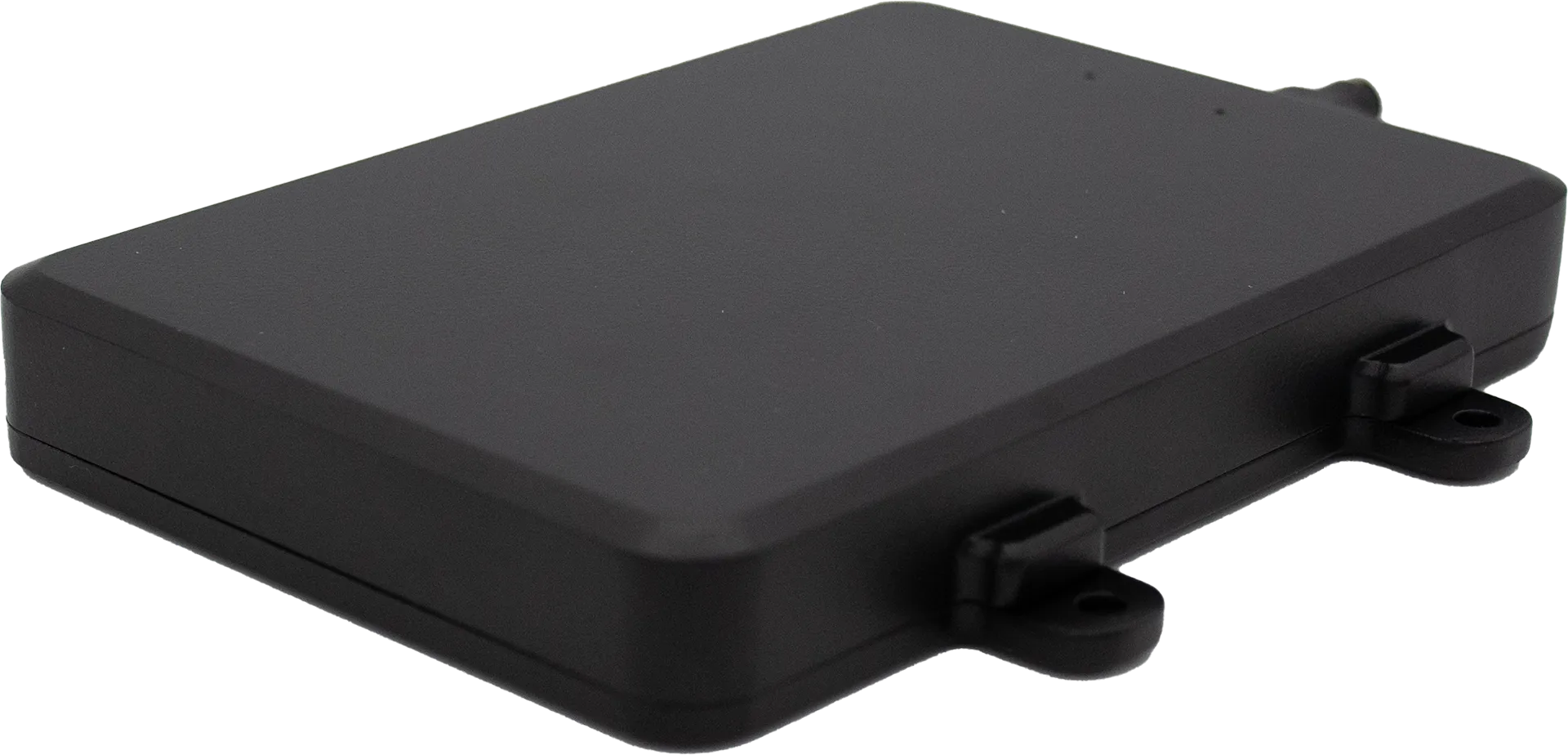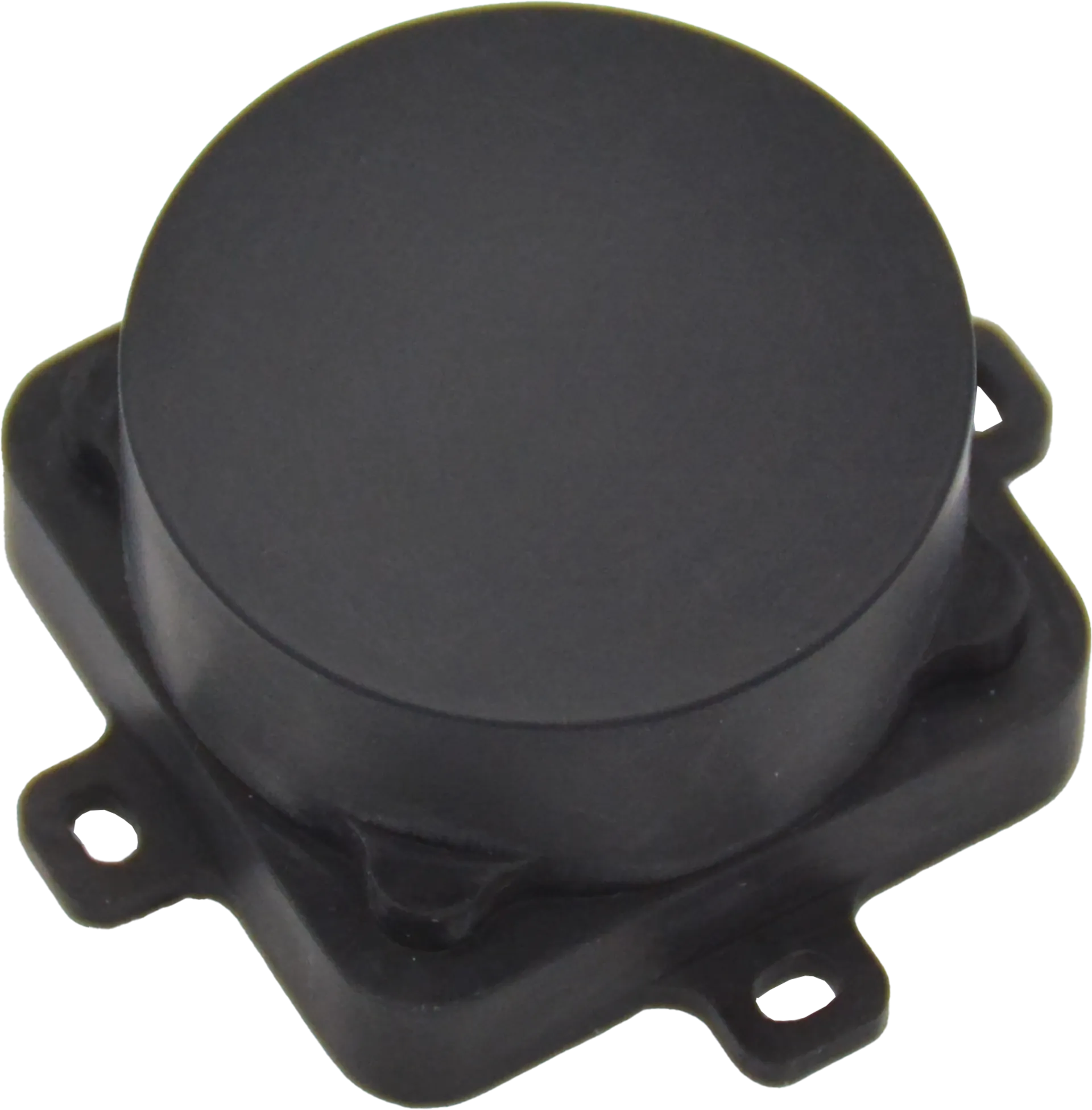
Light weight and compact FMCW radar altimeters that provide accurate and reliable altitude measurements above terrain in all conditions.
AxEnd offers two complementary FMCW radar altimeter series to meet the full spectrum of UAV altitude-sensing requirements. The 24 GHz AXDXM24A1 Series delivers long-range detection up to 3,300 ft with wide-beam coverage, ideal for high-altitude and terrain-following missions. The 60 GHz AXDXM60A1 Series achieves millimeter-level (±0.4 in) accuracy in an ultra-compact, ultra-light, ultra-low-power package — purpose-built for close-range precision altimetry.
Both series feature native MAVLink / DroneCAN support, AI-empowered target clustering, rugged IP67 all-weather enclosures, and effortless integration with popular flight controllers.
Both altimeter series share a common technology platform — FMCW radar core with AI-powered processing, ruggedized for all-weather operation, and engineered for seamless integration with industry-standard flight controllers.
Both series use Frequency Modulated Continuous Wave (FMCW) technology for direct terrain-referenced altitude measurement — immune to GPS drift, barometer lag, and sonic interference. The result: real-time, drift-free altitude data you can trust.
AI algorithms intelligently filter noise and suppress interference from multipath reflections, vegetation, and ground clutter. The altimeter adapts to changing environments in real time — delivering clean, reliable altitude data in complex terrain without manual calibration.
Native MAVLink / DroneCAN support with TTL UART and CAN interfaces. Both series integrate directly with PX4 and APM flight controllers, enabling plug-and-play deployment with minimal configuration.
Both altimeter series are fully sealed to IP67 and operate reliably in rain, fog, dust, smoke, and extreme temperatures — day or night, in any climate. No performance degradation from light conditions, precipitation, or airborne particulates.
Four range-configurable models, wide ±24° beam coverage, and triple-protocol support — the 24 GHz series is purpose-built for long-range UAV missions where range flexibility and broad terrain coverage matter most.
±0.4″ (±10 mm) accuracy, 30 g weight, 0.2 W power — the 60 GHz series redefines what a precision altimeter can be, delivering millimeter-level performance in a package smaller than a business card.
GPS gives you a height above a mathematical model. Barometers guess from air pressure. Our FMCW radar measures how far the drone actually is from the ground — directly, accurately, and in any weather.
Our radar measures height above the actual terrain (AGL). GPS gives ellipsoidal height, barometer infers from pressure — both are indirect approximations.
±0.8 in (20 mm) accuracy. GPS degrades under tree cover and in urban canyons; barometers drift with temperature and pressure. Our radar is consistently precise.
Works in GPS-denied environments — inside warehouses, under bridges, in dense forests. Fully autonomous, no external infrastructure required.
IP67-rated. Unaffected by rain, dust, fog, smoke, or darkness. From −40 °F to +158 °F, the reading stays reliable in any condition.
No calibration needed. Barometers drift with weather fronts; our radar holds the same reading whether it’s sitting on the ground or mid-flight.
10–45 Hz refresh, native MAVLink / DroneCAN / ARLink, direct UART & CAN. As light as 99 g and as low as 1.5 W — an easy upgrade for any UAV.
Complete parameter comparison across the five available models. The 24 GHz series offers four range options with wide-beam coverage; the 60 GHz series delivers unmatched precision in a fraction of the size and power.
| View the product sheet | View the product sheet | View the product sheet | View the product sheet | View the product sheet | |
|---|---|---|---|---|---|
| Detection & Accuracy | |||||
| Blind zone | 0.5 ft (0.15 m) | 0.5 ft (0.15 m) | 0.7 ft (0.2 m) | 0.7 ft (0.2 m) | — |
| Max detection rangeabove terrain | 164 ft (50 m) | 650 ft (200 m) | 1,700 ft (500 m) | 3,300 ft (1,000 m) | 0.16 ~ 164 ft (0.05~50 m) |
| Range accuracy | ± 0.8 in (20 mm) | ± 0.8 in (20 mm) | ± 2 in (50 mm) | ± 2 in (50 mm) | ± 0.4 in (10 mm) |
| Max detectable velocity | up to 134 MPH (60 m/s) | — | |||
| Field of view | ± 24° (horizontal), ±18° (vertical) | ±8° (horizontal and vertical) | |||
| Radar & Performance | |||||
| Radar type | Frequency Modulated Continuous Wave (FMCW) | ||||
| Frequency band | K Band (24 GHz) | 60 GHz | |||
| Power Requirement | |||||
| Power supply | DC 4.5 ~ 28 V | DC 5 ~ 12 V | |||
| Power consumption | 1.5 W | 1.5 W | 2 W | 2 W | 0.2 W @ 20 Hz / 0.1 W @ 2.5 Hz |
| Network | |||||
| Protocols | MAVLink / DroneCAN / ARLink (Selectable) | MAVLink or DroneCAN (Selectable) | |||
| Communication interface | UART(TTL)or CAN | UART(TTL)or CAN | UART(TTL)or CAN or RS485 or RS232 | UART(TTL)or CAN or RS485 or RS232 | UART(TTL)or CAN |
| Flight controller | APM (ArduPilot Mega) / PX4 (PX4 Autopilot) | PX4 (PX4 Autopilot) | |||
| Refresh rate | 10 ~ 45 Hz | Up to 20 Hz | |||
| Environmental | |||||
| IP rating | IP67 | ||||
| Working temperature | −40 °F ~ +158 °F (−40 °C ~ +70 °C) | −4 °F ~ +158 °F (−20 °C ~ +70 °C) | |||
| Dimension & Weight | |||||
| Dimensions (L * W * H) | 4.5 * 2.6 * 0.7 in 113.2 * 66 * 16.5 mm |
4.5 * 2.6 * 0.7 in 113.2 * 66 * 16.5 mm |
4.6*4.1*0.7 in (115.6*105*16.5 mm) |
4.6*4.1*0.7 in (115.6*105*16.5 mm) |
1.9 * 1.9 * 0.8 in 47.2 * 47.2 * 21.5 mm |
| Weight | 0.22 lb (99 g) | 0.22 lb (99 g) | 0.29 lb (130 g) | 0.29 lb (130 g) | 0.07 lb (30 g) |
From the 24 GHz long-range series to the 60 GHz ultra-precision lineup, our altimeters integrate seamlessly into any UAV platform that demands a reliable, real-time altitude reference.
Real-time altitude hold and precision approach for last-mile delivery drones, ensuring safe landing in complex urban environments and variable landing zones.
Constant-AGL terrain following enables uniform spraying coverage and accurate crop surveying across undulating farmland, orchards, and hillsides.
Narrow-beam focus and multipath immunity deliver clean altitude data near towers, cables, and bridges — critical for safe autonomous inspection flights.
All-weather reliability ensures consistent altitude reference during perimeter monitoring and autonomous patrol missions, day or night, in any conditions.
GPS-denied operation keeps search-and-rescue drones operational in smoke, fog, or collapsed structures where satellite signals are unreliable or unavailable.
Millimeter-accuracy height data supports high-precision topographic mapping, glacier monitoring, and environmental research in remote or extreme terrain.
Our team will send you the full datasheet and arrange a live test session with your target platform.
Request Datasheet & Demo →Share your platform, flight profile, and integration requirements, and we will match the right airborne radar for your project.